High-Quality Aerial & Ground Visuals
Providing reliable data and stunning media for your project, property, or brand. Your vision, captured with precision.
Solutions For Your Industry
We provide specialized services tailored to the unique needs of our clients across key sectors.
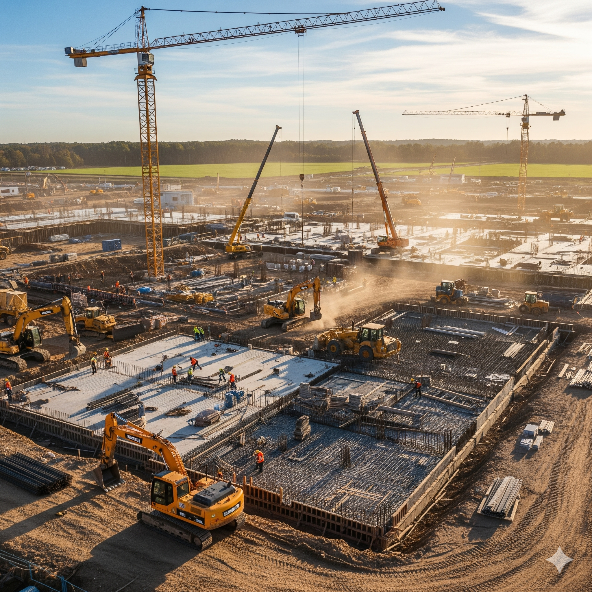
Construction & Development
Progress tracking, mapping, and inspections.
Learn More →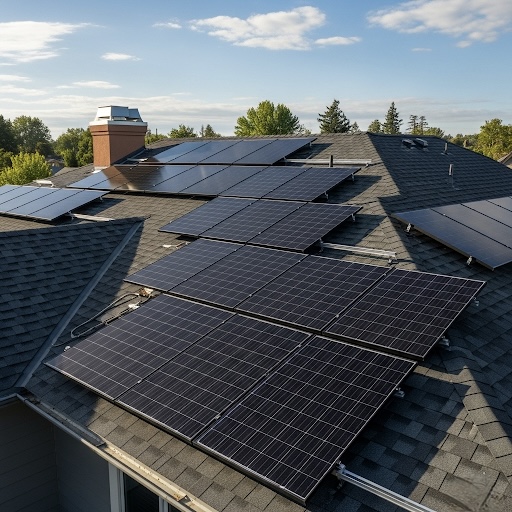
Roofing & Insurance
Safe, accurate inspections and damage assessment.
Learn More →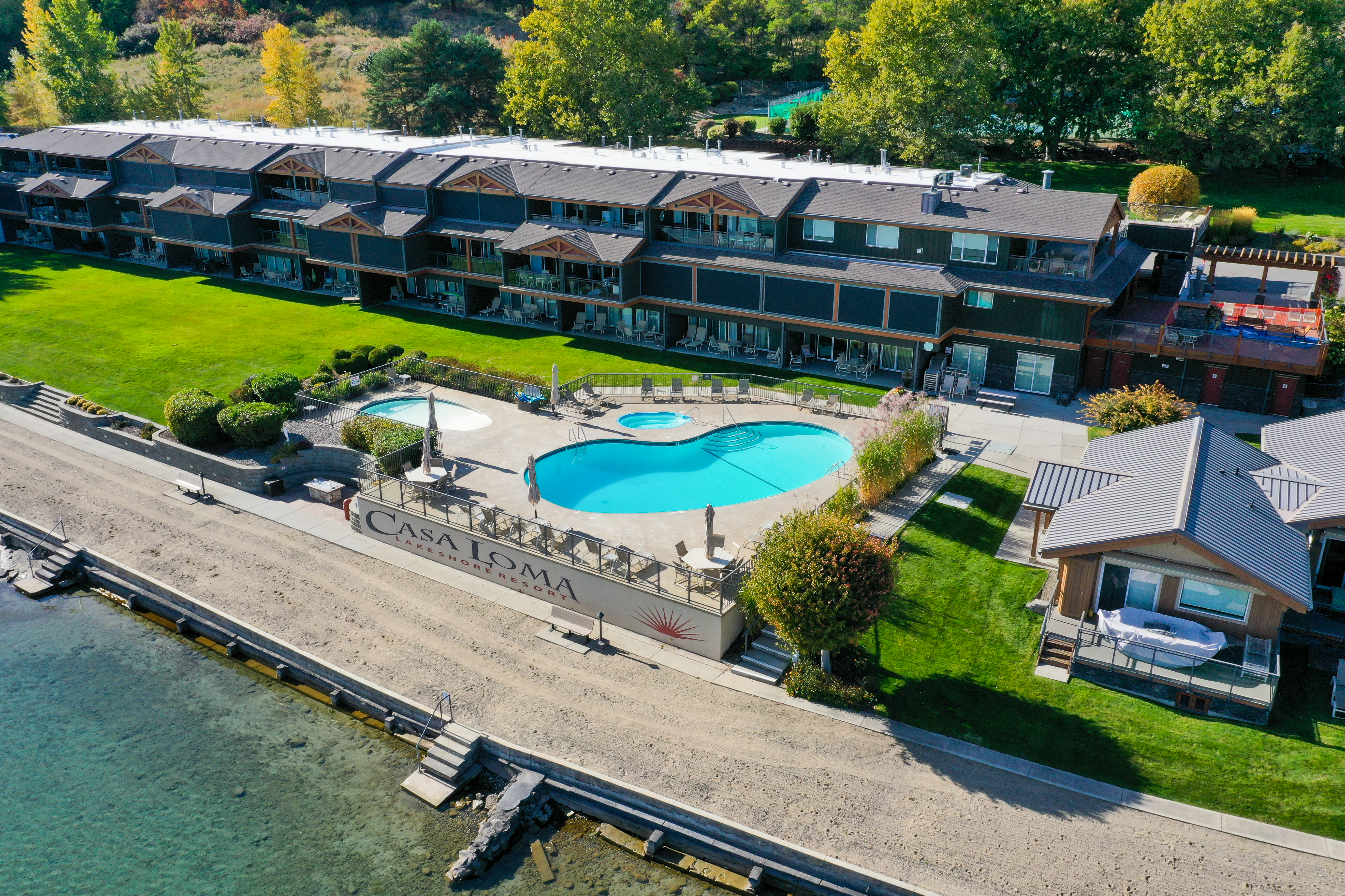
Real Estate & Property
Stunning aerial photos and cinematic video tours.
Learn More →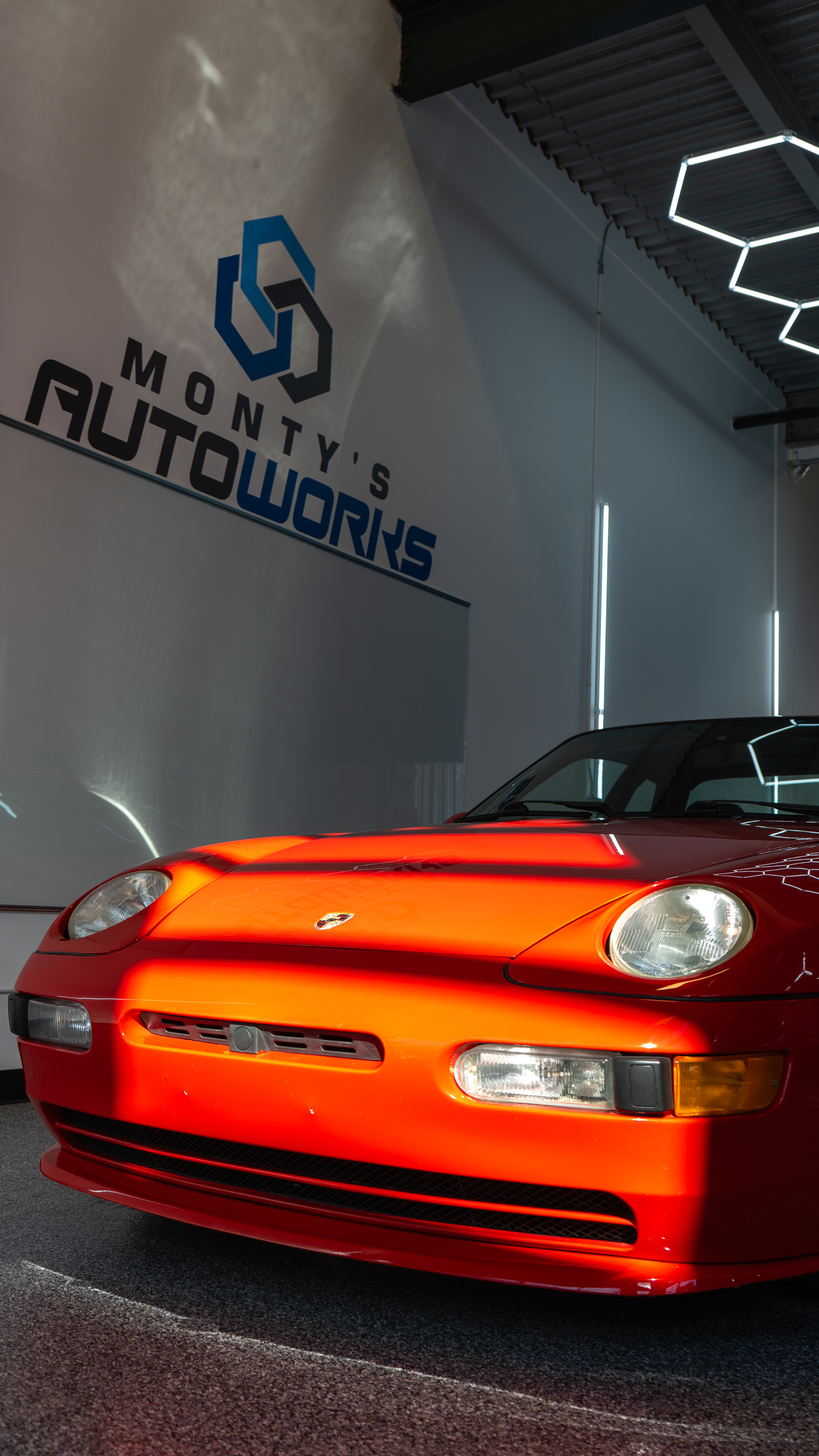
Brands & Businesses
Cinematic promotional videos that tell your story.
Learn More →Detailed Roof & Site Analysis
Move beyond estimates. Our high-resolution orthomosaic maps allow you to zoom in to see critical details, take accurate measurements, and create comprehensive reports for insurance claims or client quotes. It's faster, safer, and more accurate than traditional methods.
Our deliverables provide indisputable evidence of property conditions, saving you time and money.
Download a Sample Roof Report →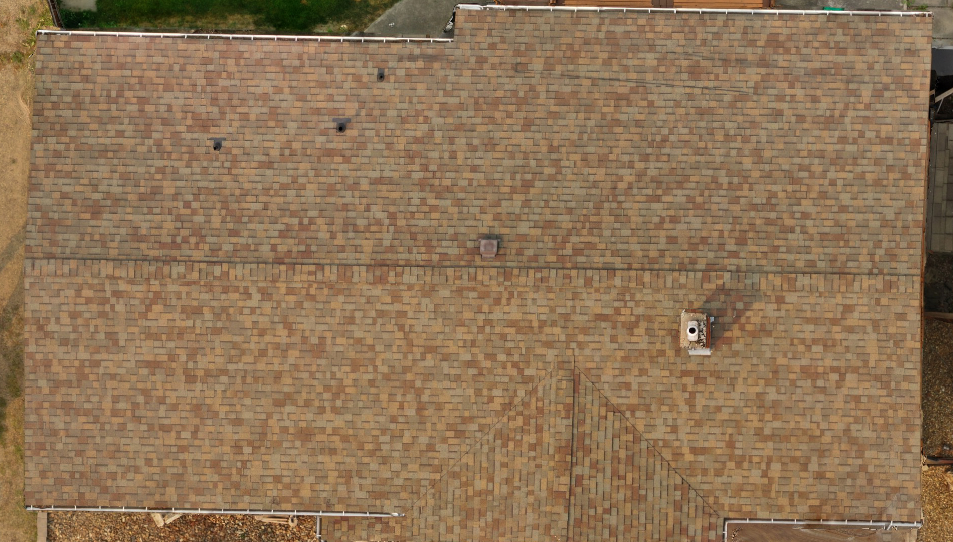
Use your mouse wheel to zoom and drag to pan the image.
.png)
The DispatchVisuals Difference
We follow a proven, structured process to ensure clarity, quality, and exceptional results on every project, start to finish.
01. Consultation & Planning
Every project begins with a detailed consultation to understand your specific goals. We then conduct site assessments and meticulous flight planning to ensure safe and efficient data capture.
02. Data Acquisition
Using state-of-the-art drones and camera systems, our certified pilots execute the plan, capturing high-resolution photos, videos, or mapping data with precision and expertise.
03. Processing & Analysis
We process the raw data to create your deliverables, whether it's a cinematic promotional video, an accurate 2D orthomosaic map, or a detailed 3D model for analysis.
04. Delivery & Support
Your final assets are delivered in your preferred format. We provide ongoing support to ensure you can effectively use the data and visuals to achieve your project goals.
Your Trusted Partner in Aerial Imaging
Certified & Compliant
Transport Canada certified for Advanced Operations, ensuring every flight is legal and professional.
Fully Insured
Carrying comprehensive liability insurance to provide complete peace of mind for your project.
Meticulous Planning
Every project begins with a detailed site assessment and pre-flight safety checks.
Ready to See Things Differently?
Let's discuss your project. We provide free, no-obligation quotes to help you understand how our services can deliver value.
Get Your Free Quote Today